The Idea: Recapitulate the original purpose of the Hennepin Canal - connecting the Illinois River to the Mississippi at the Quad Cities - by riding it from its eastern end in Bureau Junction to where it empties into the Rock River at the western end at Timbrook Field in East Moline, and continue on from there to the Mississippi River and across into Iowa. And then, of course, turn around and reverse the trip back to Bureau Junction.
6/23/2022 - Bureau Junction Lock 2 to Geneseo Campground - 48.99 Miles
I chose the end of the last full week of June for my three-day, two-night trike packing trip along the Hennepin Canal. I’d been idly considering a trip like this for several years, and actively planning it for the past three months. I picked the end of June in hopes that it would be far enough past the spring rainy season that the trail wouldn't be waterlogged (always a concern along canal trails), but not yet into the hottest part of the summer.
The easternmost point of the canal trail is at Lock 2 in the tiny town of Bureau Junction, IL. The completist in me would prefer that sentence to say “Lock 1”, but as fate would have it, Lock 1 is on private property and is apparently submerged much of the year. So: Lock 2 it is.
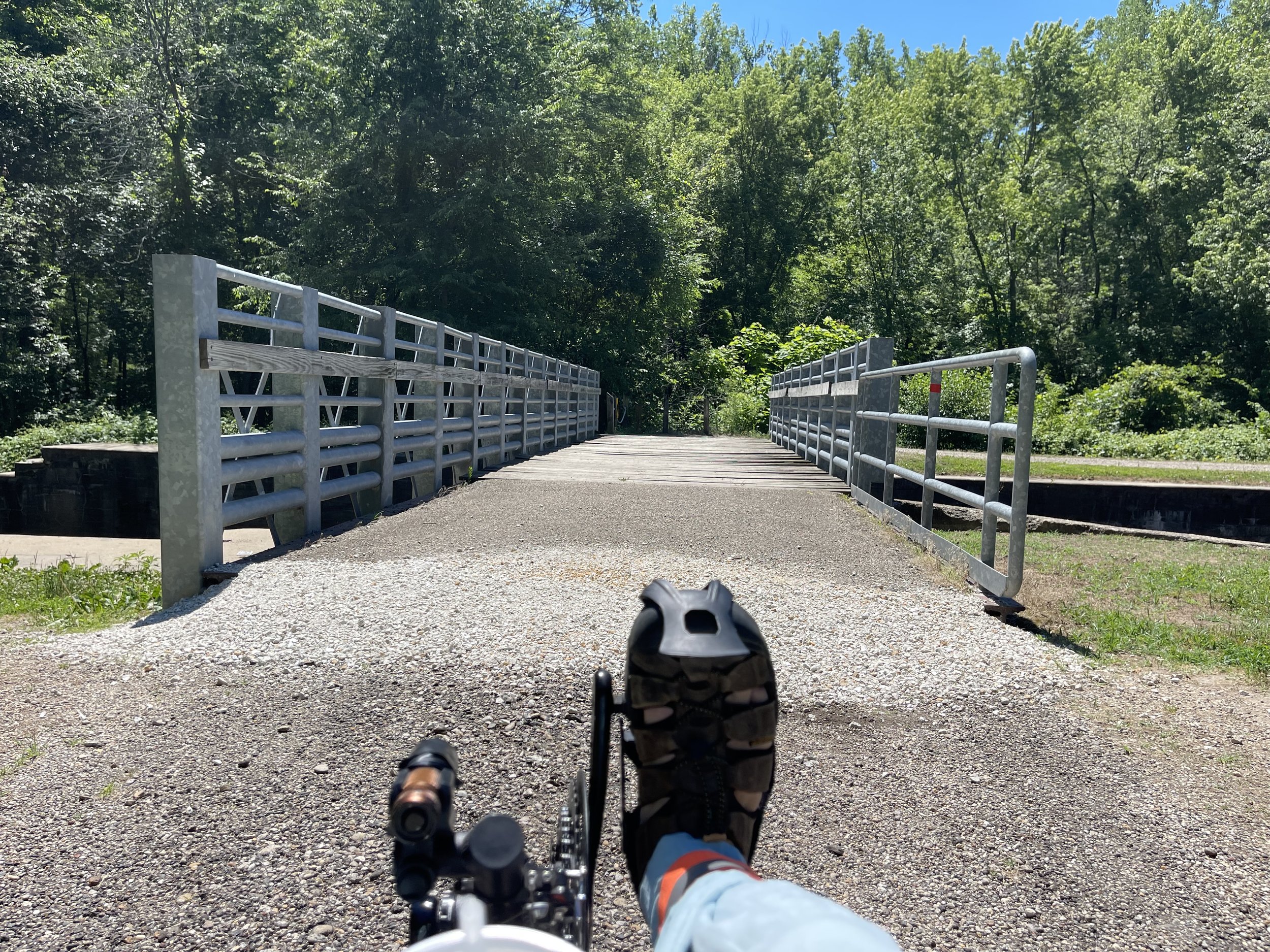
The starting point immediately includes a bridge crossing to get you on to the canal trail proper.
It’s a steel bridge with a wooden deck, and the rustic feel of the trail asserts itself immediately as you enter the bridge and feel, hear, and see the slats bouncing under your wheels.
Yes - I do mean bouncing, as in they are moving freely underneath you, breaking free of the nails or fasteners that once held them down. It was evidence of entropy that, little did I realize, would re-assert itself multiple times along my three-day ride.
I started just before noon on the 23rd. That probably sounds kind of late in the day, and it was, but it was by design. The campground in Geneseo didn’t have check-in until three in the afternoon, and I didn’t want to arrive there leaving an over abundance of empty time, so I got some things done in the morning before I left to give myself a buffer against that possibility.
And once I was rolling it was all that I remembered from prior rides along the trail.
The Hennepin Canal Trail is rustic and remote in all the best ways that go with that description. Each time I’m on it I quickly find myself transported to a place and time that has never really existed - where people travel along rural byways under their own power, in an age that would have fallen between our movement away from horse-driven travel and the advent of the motor vehicle, had not time and fate seen fit to make the innovations - pneumatic tires and gear sets, among others - that would have made a cycling-centered era possible also correspond to the emergence of the automobile.
It’s a good place to be, at least for a time. Although the canal is, at its core, an inherently unnatural thing, nature has nonetheless embraced it. The birds are always among the first things I notice when I head out, and this trip held true along that front. I saw my first blue heron within the first three miles or so - the trike always spooks them, so they fly up and away from it when it approaches, often affording an opportunity to see them that I would have missed if they had the temperament to stay still. And they are joined by a variety of others, some common - red wing blackbirds abound, turkey vultures circle overhead, ducks and Canada geese are easy to find (tho the geese are sometimes reluctant to give right of way…); others less so. I’ve put up many a backyard feeder in my time in order to catch glimpses of cardinals and goldfinches, but here they both flit in and out of the trees, flashes of red and yellow frequent occurrences in and out of the trees that often line both sides of the canal trail.
And then there are the orioles - or so I assume. A flash of coppery orange; they are shy and flighty - as soon as you see them they flit away, not even allowing for the opportunity to capture an image. My Peterson Guide shows Baltimore and Orchard Orioles to be in northern Illinois, and they are the only birds I find on the list with this particular plumage. It says they are “fairly common”, but they don’t seem to frequent the farmland around my home - I only ever see them along the canal trails.
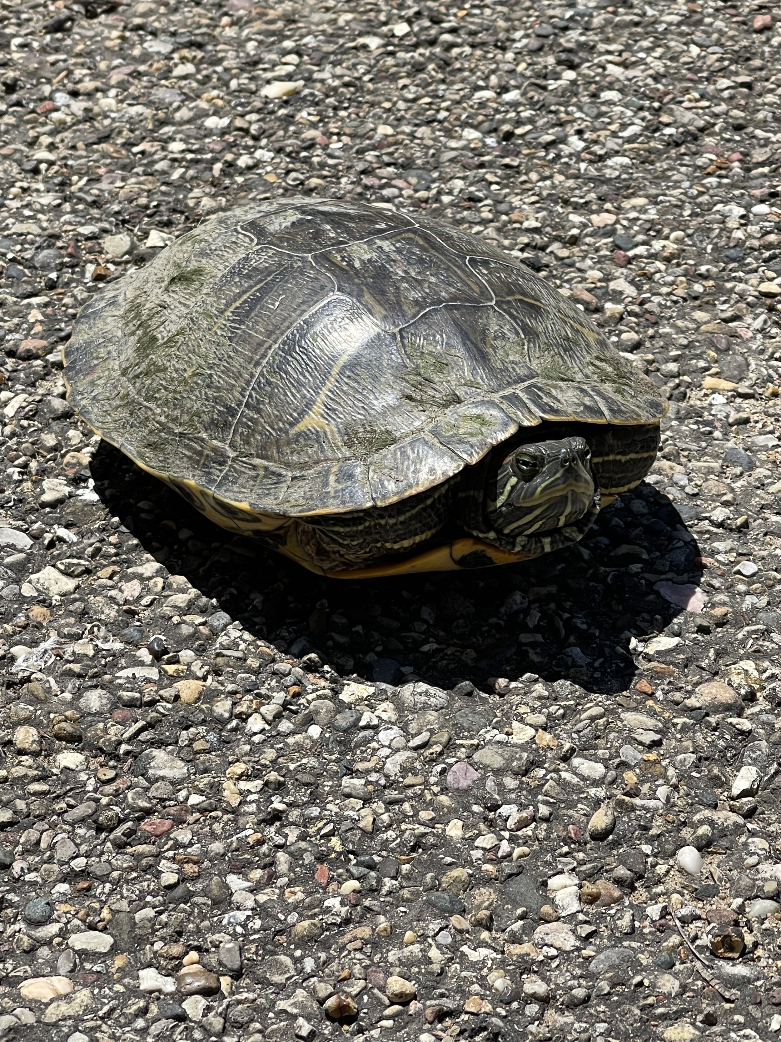
And, as if the bird play were not enough, about 40 minutes in I came across this fine fellow:
I tried to strike up a conversation with him, but he was not overly impressed with my efforts, so I snapped my picture and moved along.
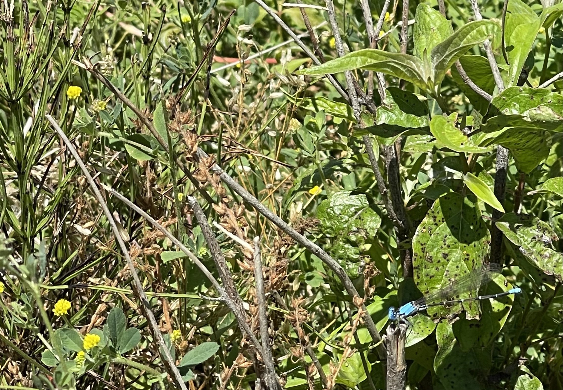
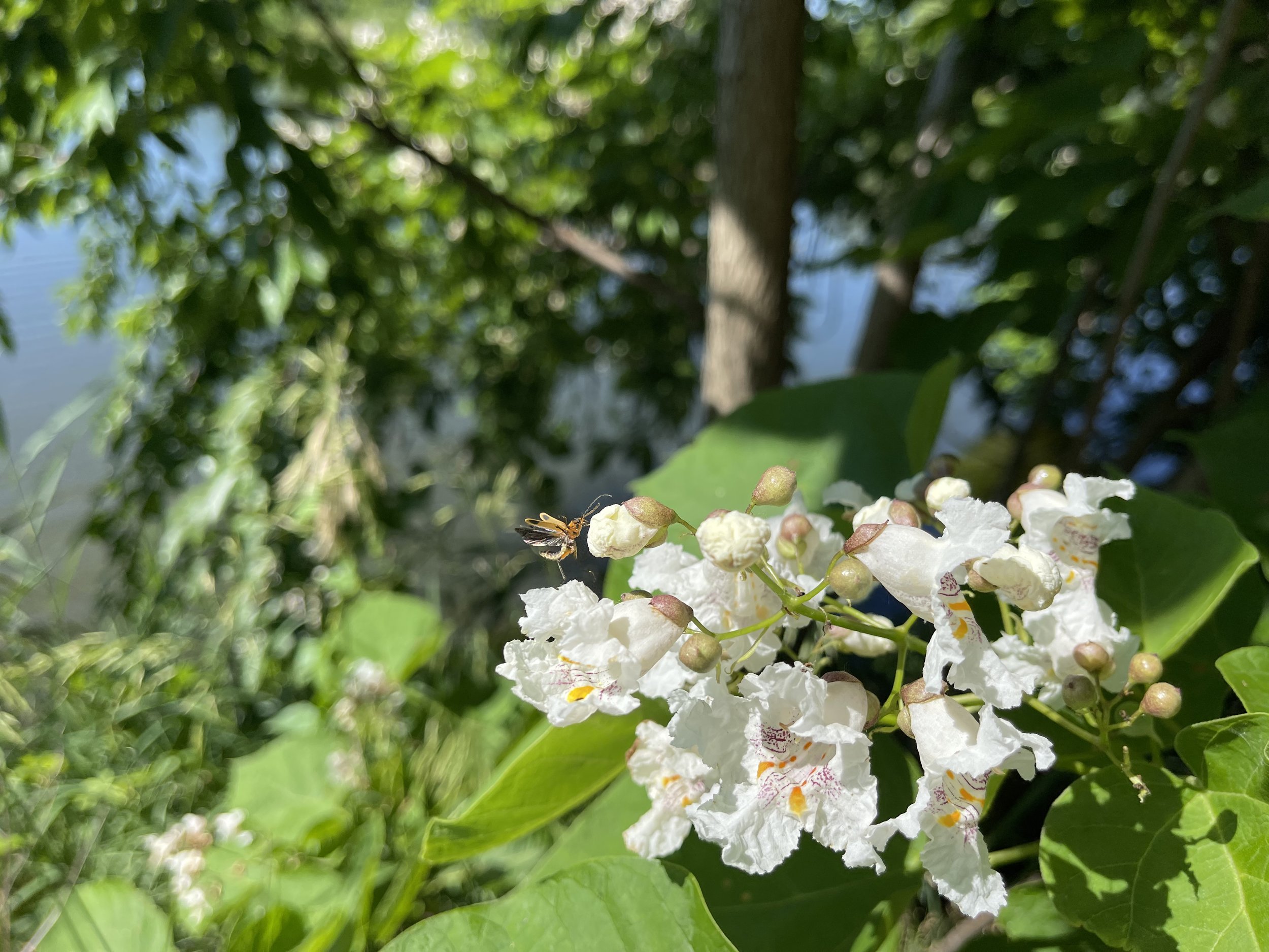
And this is very much how the first half of day one went. I had told myself going in that I was not in a hurry, that while I did have a destination for the day, it was just to a place to rest and recuperate. I alternated between appreciating the wildlife and taking pictures - of the turtle above, and of other natural things along the trail:
As well as catching pictures of the more man-made components of the area, including this mystifying marker:
I have a friend who is, himself, a Steelers fan despite have grown up nowhere near Pittsburgh, and this item makes me think of him every time I ride by it.
And of course, there is the canal itself to marvel at. The Locks come along an uneven intervals, but most of them well marked…
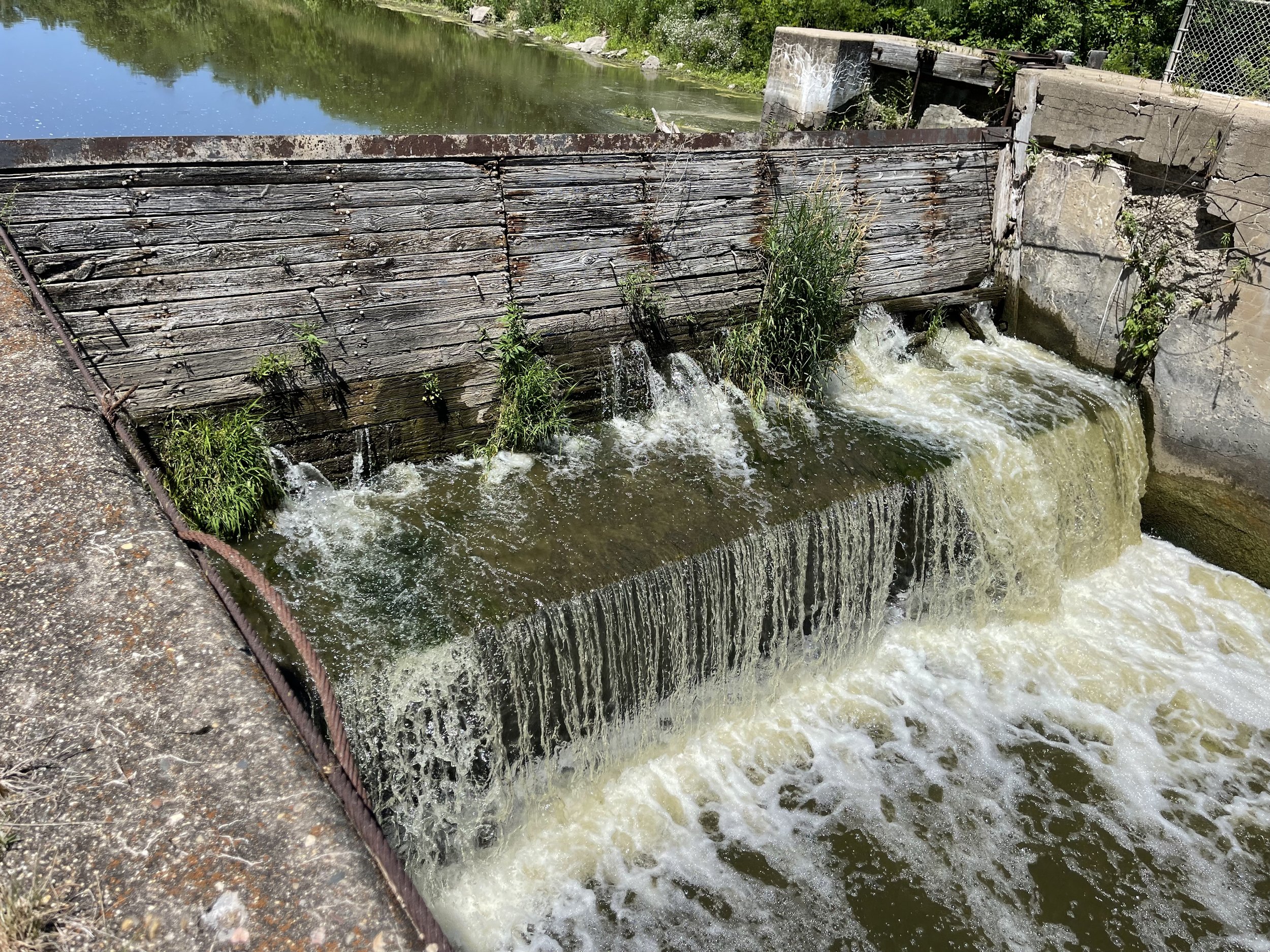
…each providing its own bit of human-modified natural enjoyment:
And of course, bridges abound to carry trains and cars over top:
And then you have the remnants of the past, there to testify to what once was, such as the pilings under Lock 12, where an aqueduct once carried the canal over top Big Bureau Creek:
This spot is always of particular interest to me, as my Great-Grandfather Percy worked as a Lock Tender on this very spot. This site was my goal the very first time I came to ride the canal trail, and I still pause here for just a bit to appreciate the life he and his family must have led when they were here.
The Tenders lived along the canal, in purpose-built homes, some of which still stand, albeit in disrepair:
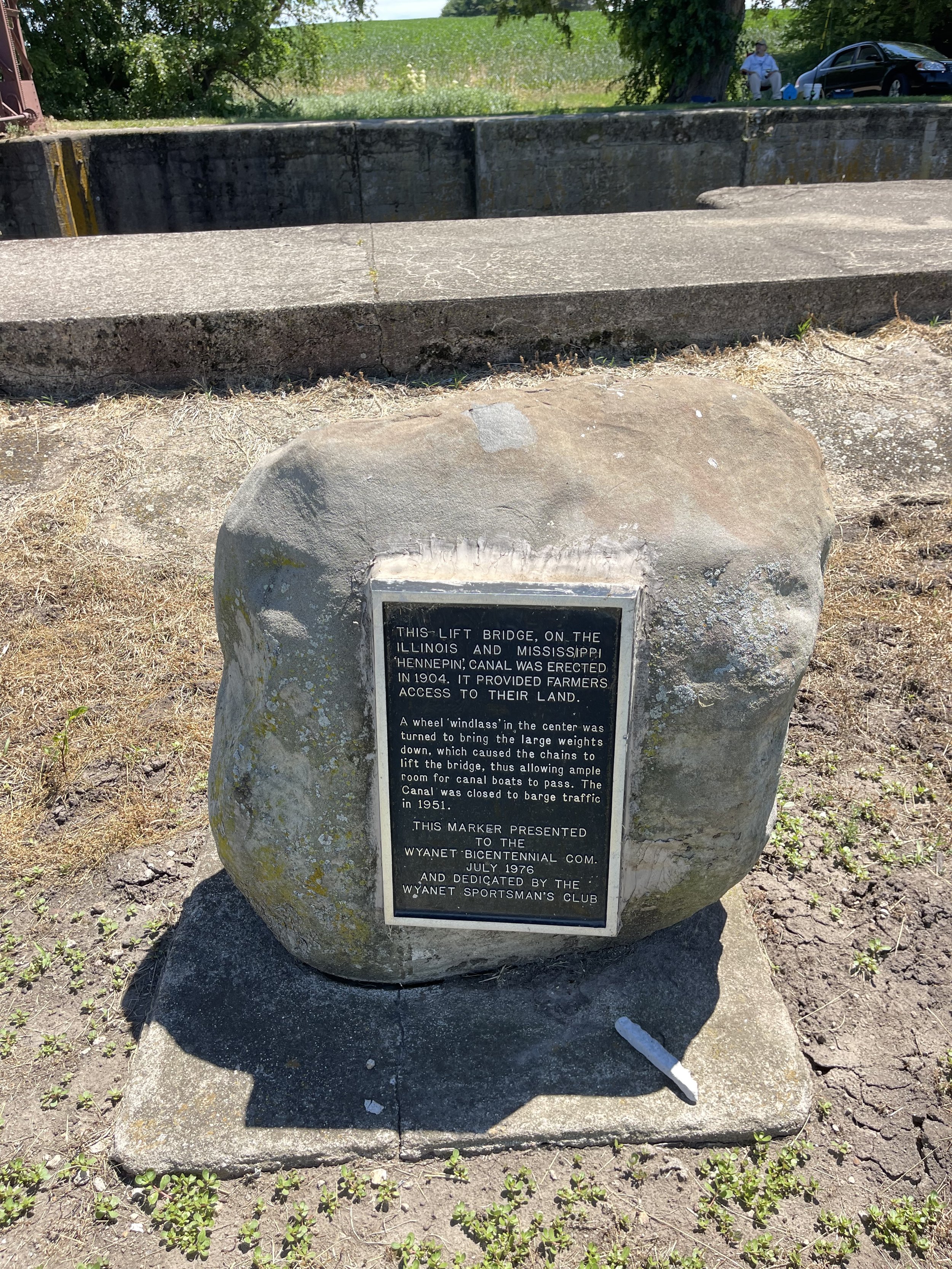
And as you get out further along you see some of the mechanical marvels of the canal, including the lift bridges that were put in place to ensure farmers could get to their lands without interrupting barge traffic:
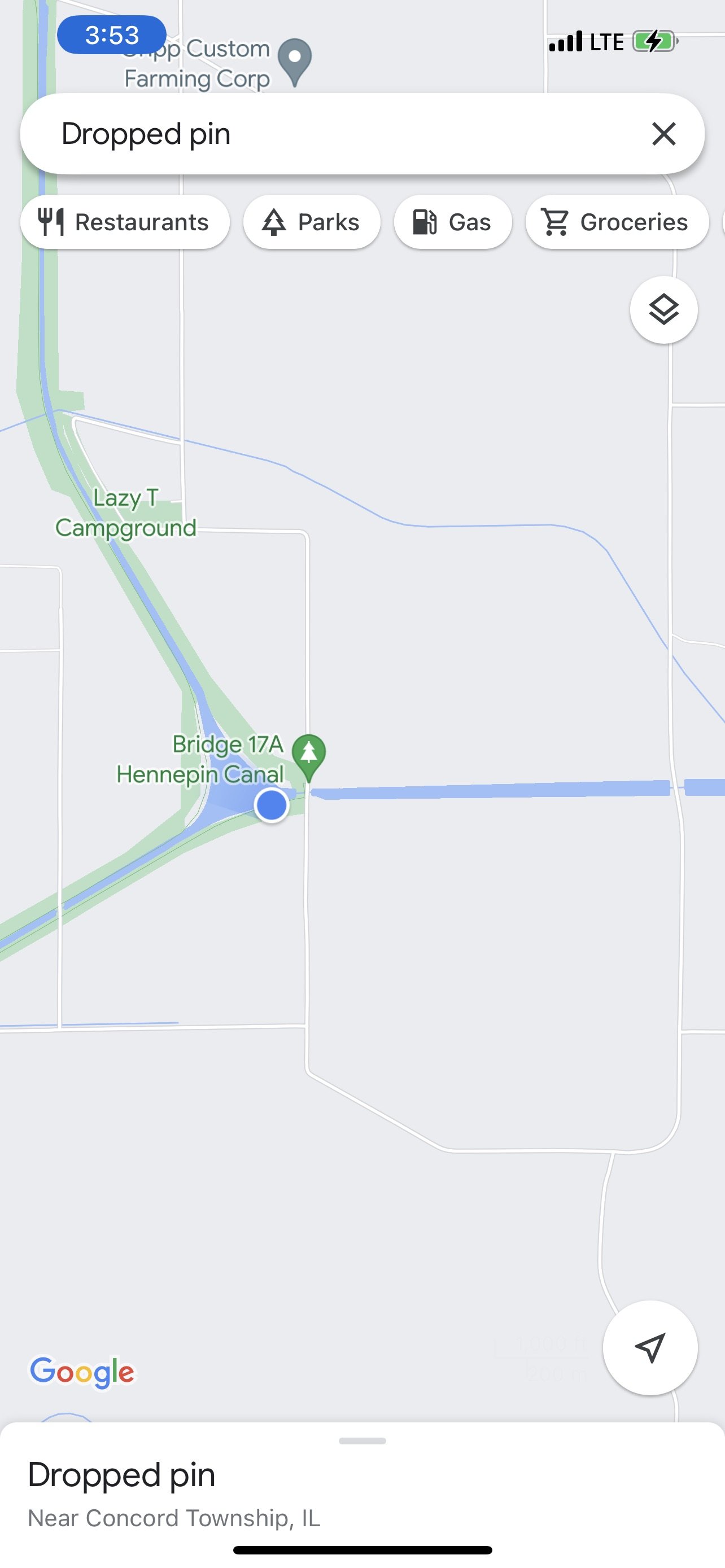
It was just about 4:00 in the afternoon when I reached the confluence of the feeder canal - the portion that flows south from the Rock River in Rock Falls to supply the water for the canal itself - and the main canal:
I had never ridden this far along the trail. I’d tried to make this spot a goal once before, but it was a day trip in later autumn, and I ran out of time, needing to turn around before I ran out of both daylight and favorable temperatures. It wasn’t exactly what I expected. Like the rest of the canal it’s lovely and peaceful, but I was expecting something that suggested the bodies flowing together - perhaps a visible rushing of water in multiple directions, since canal falls both to the east and west from this point. Instead it presents as a small lake or large pond - you have to know what it is to know that it’s something different.
But then, except where it drops at the locks, the water flows slowly - so much so that in places nature is working to regain the canal for itself:
It was also at the confluence that I started to realize I was behind. Now, I specifically had planned to not have any type of a hard schedule, and that was still the case. But the confluence is about 27 miles into a nearly 50 mile ride - just past the halfway point - and it had taken me four hours to get there. If I continued at a similar pace, I’d be rolling up to the campground around 8 in the evening, and risking having to set up camp in the dark. My plan to limit my unoccupied time appeared to be coming together a little too well.
My later start time also put this second half of the ride in the hottest part of the day, with me riding directly into the afternoon sun. And shortly after the confluence the trail moves from the south side of the canal to the north side, which places the open water to the south, and significantly reduces the likelihood of shade trees.
All of this conspired together to put a feeling of pressure on to the second half of the day-one ride that I didn’t really expect. And I aided and abetted that pressure with a decision - or lack of one (but when you choose not to decide you still have made a choice…). Because i was starting later in the day I picked up fast food from the Golden Arches on the way to the trailhead (you can see my iced tea cup in the pictures from the start). That being a high calorie meal I didn’t really see any need to stop and eat along the way.
Or at least I didn’t until I began to flag in the heat of the late day sun. It took me a while to sort this, and I actually ate the first half of the Apple I’d sliced up as a supplement to the water I as drinking. But then I felt so much better after eating them that the light clicked on and I realized my mistake. And I was sure to insert another snack break along the way.
The other struggle was that I started to run out of water. I’d brought along 48 oz of water across three bottles in addition to the extra-large iced tea that I’d started out with. This is typically more than enough for me over a 50-mile ride, even in hotter weather. But as it went on, what I realized that it wasn’t the distance as much as it was the time. A 50-mile ride on the road usually takes me less than four hours, even fully loaded for the trip (I’d done a test-run the week before with everything on the trike). But here it had taken me four hours to go half that distance, and the supply was running very low, making me have to ration it out.
I did think, for a brief moment as I got closer to the end of the first day that I’d been saved by this:
But it was not turned on. There may have been some swearing at that point.
The last portion of this was also where the trail started to work against me. The trail is composed of a variety of surfaces across this first section, ranging from asphalt to dirt and sand, with rough gravel tossed in from time to time as a repair, of sorts. But the last 10 miles or so ahead of the campground yielded this:
What you are seeing is an asphalt trail that has a healthy crop of grass growing in it. As I looked at, and rode thru it, the phrase that kept turning over in my mind is that this type of trail construction with asphalt could be called “pour it and forget it”. It did have two single-tracks in it (double-track?), on either side of the trail. Neither track was as wide as the trike, but I did what I usually do when I come across this, and lined things up so that the rear and one front wheel were always on open trail. This worked as well as it usually does, but myself and the trike were so covered in grass seed by the time we got to the campground that I did wonder about maybe opening an online seed store: Specialty in Hennepin Canal Grass.
In all honesty I’ve come across similar conditions on multiple trails and it didn’t bother me. I suspect it would have been the same here if I hadn’t also been running low on water and running behind. As it was, tho, I was silently cursing for much of those last 10 miles.
I rode into the Geneseo Campground at a little after 7 PM. The folks there were friendly and I was quickly checked in and got things set up:
I had chosen the private campground over the rustic sites along the trail mostly because I wanted access to a full bathroom with a shower - an accession to my middle-agedness. Unlike my earlier issues with calorie and time management, this was a decision that paid dividends. I’m not sure I’ve ever had a shower that felt as good as the one I took at the end of day one.
And I think it got almost all of the grass seed off of me…


